A new conundrum for city budgets: A city in Virginia is sinking — unevenly — according to NASA
03/26/2019 / By Rita Winters
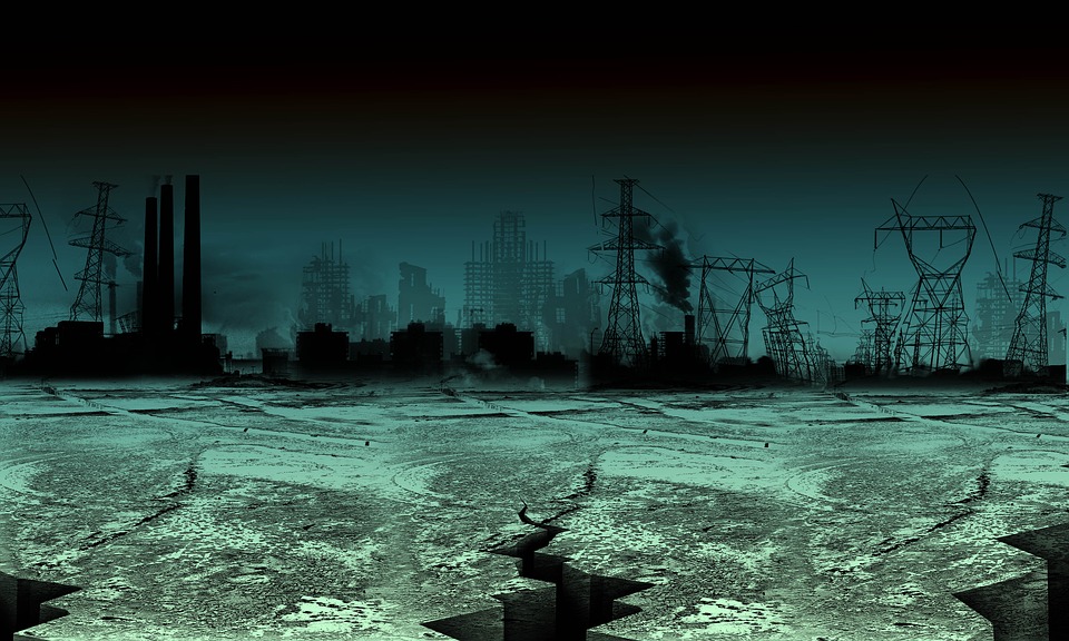
As lands sink and sea levels rise, coastal cities around the world will be more prone to flooding. The state of Virginia is one such example. According to a new National Aeronautics and Space Administration (NASA) study, some areas around the coast of Virginia are subsiding unevenly, with some areas sinking seven to 10 times faster than others. This study also found vast differences in sinking rates between areas that are close to each other.
The area with a significant sea level rise on the Atlantic coast and land subsidence rate is Hampton Roads of the Chesapeake Bay region, at about 23 millimeters combined every five years. Local subsidence maps, however, are quite inaccurate, showing a slower rising/sinking rate. According to Ben Strauss, the director of the Program on Sea Level Rise at Climate Central, Norfolk is at the most risk, with approximately 75,000 people living in 120 square miles of low-level land. Other parts of Virginia that are experiencing this include Virginia Beach and the Naval Station Norfolk, which is the country’s largest naval base. The cause of sinking is largely unknown, but it can also be blamed on rising sea levels from melting polar ice. The study, published in Scientific Reports, shows that NASA’s Jet Propulsion Lab in Pasadena, California and the Old Dominion University (ODU) in Norfolk found variations in subsidence by analyzing synthetic aperture radar (SAR) images from 2007 to 2011 by the Japan Aerospace Exploration Agency‘s ALOS-1 Satellite.
In order to address the issues at hand, the ODU is assessing the feasibility of using satellite data to map the subsidence rates in the Hampton Roads, noting that these techniques could be used to map subsidence in other affected areas as well. Regularly updating subsidence rates via the SAR would be crucial to making decisions, states David Bekaert, the lead author of the study. Co-author Ben Hamlington from ODU states that it would also be helpful to incorporate this data in the government’s land use decisions and should be taken into consideration for future planning.
Out of Virginia’s state budget of approximately $50 billion, the state spends 15.5 percent on K-12 education, 15.4 percent on higher education, 0.3 percent on public assistance, 17.5 percent on Medicaid, 2.8 percent on corrections, and 12.3 percent on transportation. The remaining 36.2 percent of the budget goes to the Children’s Health Insurance Program (CHIP), institutional and community care for the mentally ill and developmentally disabled, public health programs, employer contributions to pensions and health benefits, economic development, environmental projects, state police, parks and recreation, housing, and general aid to local governments.
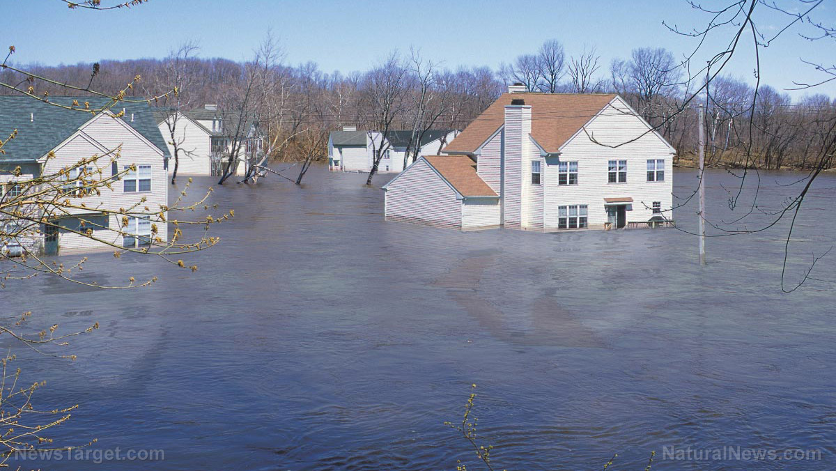
Floods in the U.S. cost an average of $6 billion in annual losses, and cause about 140 deaths each year. Damage in infrastructure and indirect losses from disruption of economic activity are high during these floods, and threaten the stability of urbanization and coastal development. (Related: We’re doing it to ourselves: Human activity found to impact weather, weather outcomes.)
Fast facts
- At $20 billion, the 1993 Midwest flooding was the most expensive river-related flood in the history of the U.S.
- More than half of all flood-related fatalities constitute vehicle passengers and drivers, as a result of misjudging depth of water on a road and the strength of moving water combined.
- Principal causes of floods in the eastern United States are cause by hurricanes and storms, while the principal cause of floods on the west are snowmelt and rainstorms.
- Flooding is the only natural disaster for which the government provides insurance: Federal Emergency Management Agency’s (FEMA) National Flooding Insurance Program.
Sources include:
Tagged Under: budget, Flooding, Hampton Roads, Jet Propulsion Lab, NASA, sinking land, subsidence, Virginia